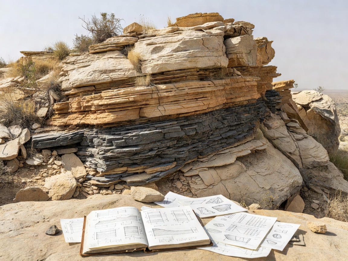
A fossil discovery location may be a natural exposure, a managed geological feature, a former quarry or a research locality. These settings differ in ownership, stability and legal status. A place appearing in a geological reference may be inaccessible, protected or unsafe to approach.
What counts as a field location?
An outcrop is rock exposed at the ground surface. It may reveal bedding, fractures and changes in sediment. A formation is a mapped body of rock with defined geological characteristics; it may extend across several places and include rocks with different exposure conditions. A field locality is a more specific recorded place, often connected to observations or specimens. Public descriptions may intentionally limit precision when a locality is vulnerable.
Coastal sections can expose sedimentary layers through natural erosion. Shore conditions change with tide, weather and recent rockfall. Cliffs and steep slopes can fail without warning. Do not climb, stand below unstable faces or rely on a low-tide route without authoritative local guidance. If no safe public viewpoint is available, choose a different way to study the geology.
Quarries and managed exposures
Quarries reveal rock through extraction, but active operations have serious industrial hazards and controlled boundaries. Disused quarries can still contain unstable faces, deep water, loose material or contaminated ground. Neither active nor abandoned sites should be entered without explicit authorization and the controls specified by the responsible operator or land manager. Do not cross fences or seek informal access.
Some sites provide interpretation from a public path, visitor area or supervised programme. Current availability must be checked with the site manager. A former quarry’s historical description does not establish present-day access. Road cuttings and rail corridors are also not field destinations unless access is explicitly provided; never stop or walk beside traffic to inspect rock.
Use maps as research tools
Geological maps show the distribution and relationships of rock units at a chosen scale. They can guide questions about age, rock type and structure. Map boundaries are generalized, and a map does not show every exposed surface, access route, hazard or collecting rule. Read the accompanying legend and explanatory notes. Compare map information with current land-access guidance before planning a visit.
Where available, consult official geological survey publications, local conservation information and institutionally held field references. Keep different evidence types separate: a mapped unit is geological evidence; a public footpath is an access question; a collecting permit is a legal authorization. One does not imply the others.
Permission and protection
Land may be privately owned, publicly managed, leased or subject to special protection. Protected geological sites can restrict or prohibit collecting, removal, disturbance or even access. Rules differ by country, region and site. Permission from a landowner may not override conservation law or a separate permit requirement. Ask the relevant authority when in doubt.
- Identify the land manager and confirm permission for the activity planned.
- Check protected-site designations and local collecting restrictions.
- Use marked routes and follow closures, notices and supervision requirements.
- Do not remove material, damage exposures or disturb other visitors’ work.
- Leave restricted or uncertain material in place and record observations only where allowed.
Responsible observation and field notes
Observation can be useful without collecting. Record the date, broad locality, weather, visible rock type, bedding orientation if known, and the basis for any interpretation. Photograph from a safe, permitted position. Include a scale only when it can be placed without contact or disturbance. Note uncertainty: “shell-like impression” is more responsible than a firm identification unsupported by evidence.
Do not enter caves, quarries, cliffs or excavations without appropriate authorization and qualified supervision. Field conditions can change quickly. Carrying specialist equipment does not make an unsafe location safe. If a locality requires technical access, use a qualified, authorized field programme or study its documented material through a collection.
Compare discovery environments
Coastal exposures often provide long visible sequences but involve dynamic hazards. Inland outcrops may be smaller and separated by vegetation or development. Quarries reveal fresh sections but are generally controlled workplaces. Caves preserve distinct deposits and may be especially sensitive to disturbance. No setting is universally better; the research question and lawful access determine a suitable approach.
Good for
Learning to read a landscape, comparing exposed rock settings and building a field record without removing material.
What to know
Never treat a guide, map pin or photograph as permission. Verify access, protection status and current safety advice with the responsible local authority.
Plan before leaving
Prepare a no-entry alternative, such as a public geological viewpoint, museum collection, virtual map or published section. Tell someone your planned route when appropriate and follow local outdoor-safety guidance. If access cannot be confirmed, do not go to the site.